Earth planning date: Monday, October 23, 2023
Over the weekend, the activity to prepare SAM to receive and analyze the 'Sequoia' drill sample did not quite go as planned, so we had to rearrange today's plan, and those of the rest of the week, to retry it. Part of that schedule rearrangement involved moving up a second CheMin analysis of Sequoia and rescheduling the SAM analysis later in the week. The instruments basically swapped their time slots to keep us moving efficiently forward to conjunction, which starts in just over two weeks and over which we cannot command the rover.
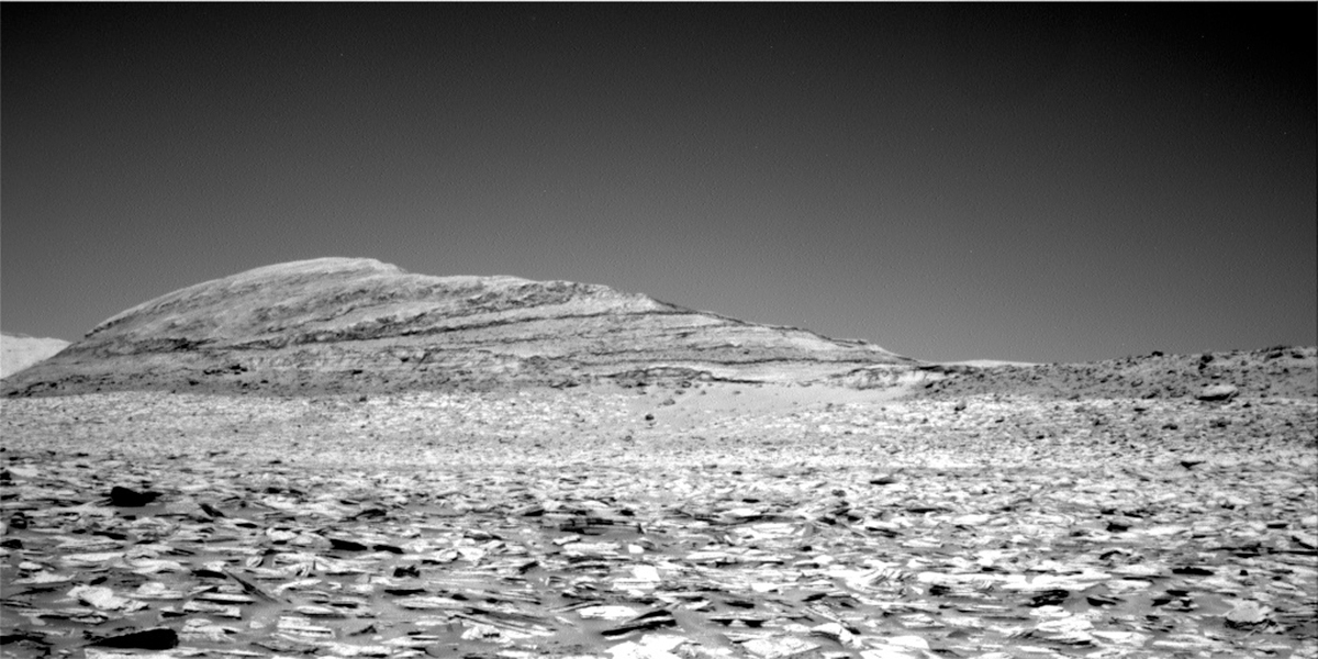
The rest of our science activities were short and sweet, to conserve power for SAM and CheMin. We added to our collection of ChemCam analyses around the rover, targeting a bedrock block just to the right of the workspace and a long, thin blade of material sticking out of that bedrock block. It will be interesting to see if the chemistry of the two targets varies and can give us an idea of why the material sticking out of the block is more resistant to erosion. The pair (or should I say 'pear') of targets was named 'Pear Lake' and 'Pearl Lake.' ChemCam also planned a long distance RMI mosaic across tens of kilometers toward Peace Vallis in the Gale Crater rim.
Mastcam kept it simple in today's plan, with documentation of the ChemCam targets and two change detection images looking for wind-induced changes in the sand and fines in and around the workspace. One target was the Sequoia drill hole, with its pile of fine-grained tailings in and around the drill hole, and the other target was a patch of small ripples bordering one of the workspace bedrock slabs, dubbed 'Aspendell.'
Written by Michelle Minitti, Planetary Geologist at Framework
from NASA Mars Rover Curiosity: Mission Updates https://ift.tt/Qj7H8Nc

Comments
Post a Comment