Earth planning date: Friday, February 16, 2024
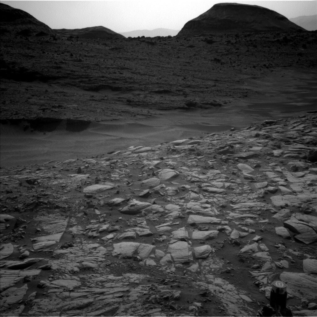
In this weekend's plan, Curiosity will continue to support two sets of long-term science campaigns. First, we want to understand the processes that built Mt. Sharp's sulfate-bearing (salty) unit, and what that can tell us about Mars' past changing climate and habitability. Second, we also are trying to understand how Gediz Vallis channel formed, and by extension, what the 'last gasps' of surface water in Gale crater might have been like. We've been hugging the edge of Gediz Vallis channel for the past few drives - getting as close as we can in order to image the rocks within the channel - but we had to turn ever so slightly east today, away from the channel, where the terrain is a little easier for Curiosity to navigate. Wednesday's southeastern drive placed us right at the edge of a 'dark band' (as characterized in orbital data) of the sulfate-bearing unit. In addition to still collecting lots of images of Gediz Vallis channel, we're also now on the hunt for another possible drill target that will help us continue to characterize the rocks in the sulfate-bearing unit. We'll assess the textures and compositions of rocks in this and an upcoming dark band to help us determine whether there's anything we'd like to sample.
We planned four sols today to cover the US holiday next Monday. The first sol of the plan is mainly devoted to getting ready for a SAM atmospheric observation that will take place just after midnight on the first sol and will measure methane in the Martian atmosphere. We'll also have some remote sensing observations on the first sol, with ChemCam LIBS observations of dark bedrock in front of us ('Red Kaweah') and Mastcam images of Gediz Vallis channel. Remote sensing will continue on the second sol of the plan, with more Mastcam observations and a ChemCam LIBS observation of 'Muro Blanco,' a light-colored piece of bedrock. MAHLI and APXS will get in on the science action on the sol as well, with observations of two targets on dark toned rocks in front of us named 'Thunderbolt Peak' and 'Tenderfoot Peak.' We'll snag one more LIBS observation on the third sol of the plan on Tenderfoot Peak, then we'll drive ~25 m to the south, towards a rock we are interested in assessing as a possible drill target. The fourth sol of the plan will be relatively quiet, with REMS observations to characterize the weather only. Mastcam, Navcam, RAD, and DAN observations will also occur throughout the plan to characterize the Martian environment.
Written by Abigail Fraeman, Planetary Geologist at NASA's Jet Propulsion Laboratory
from NASA Mars Rover Curiosity: Mission Updates https://ift.tt/AaJCTkY

Comments
Post a Comment